Robert Campbell Bridge Monitoring
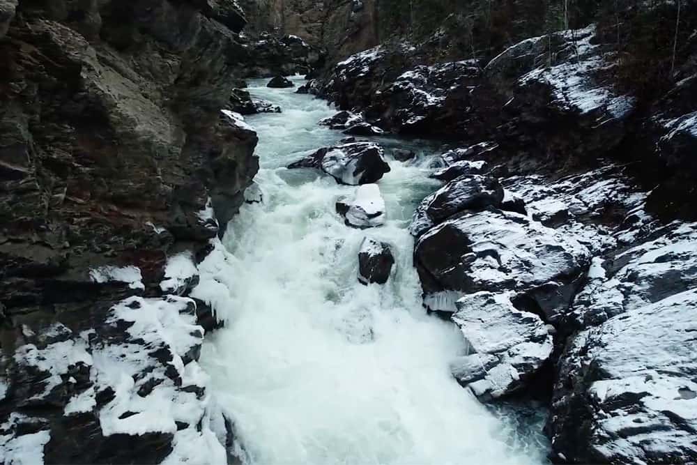
In Summer 2021 the Yukon Southern Lakes Region experienced extreme high-water levels and flooding. The City of Whitehorse contacted Underhill for emergency monitoring of the...


In Summer 2021 the Yukon Southern Lakes Region experienced extreme high-water levels and flooding. The City of Whitehorse contacted Underhill for emergency monitoring of the...
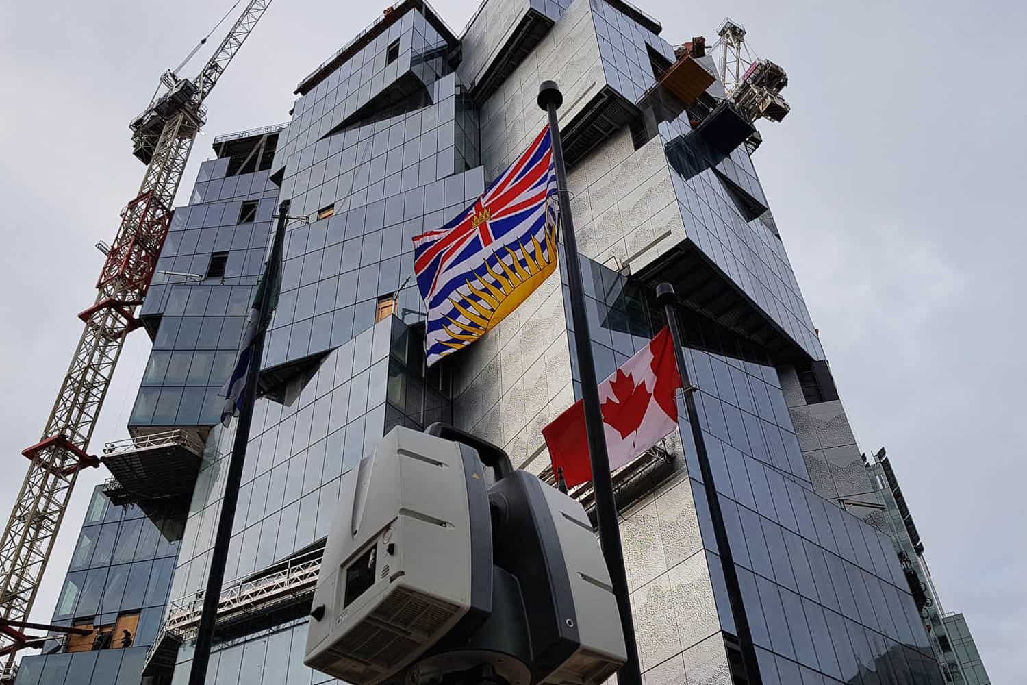
Deloitte Summit at 410 W Georgia St in Vancouver, is a unique 24-storey commercial tower with a structural steel frame, a concrete core, and a...
Remotely-piloted aircraft system (RPAS) imagery from Aerial Surveys allow Underhill to easily measure challenging terrain more efficiently and safely than traditional survey methods. This imagery...
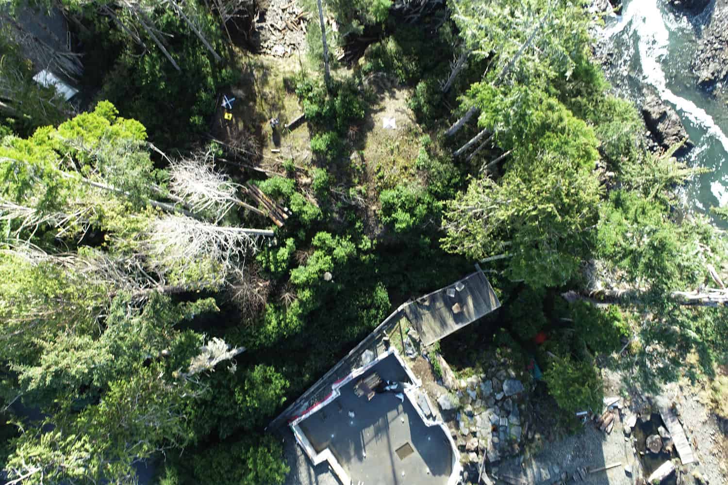
Using RTK enabled drones to map a narrow section of the Tay River, 65km northwest of Faro, Yukon, Underhill was able to deliver a detailed...

The Pattullo Bridge Replacement Project is currently undergoing a detailed design process and, as you can see from the artist’s rendering, the new bridge will have two in-river piers, reduced from the six piers the current...
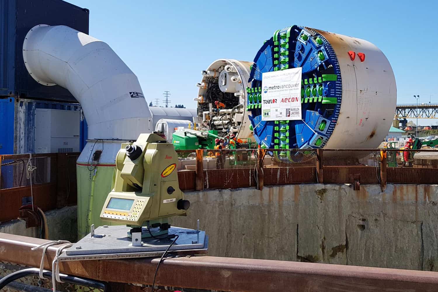
Our client, McMillen Jacobs Associates, asked us to mobilize a full-time real-time total station to monitor the shaft walls during a period where a massive...

The Eagle Gold project is located 45 km north of the community of Mayo, Yukon, known as Dublin Gulch. The project is located on the...
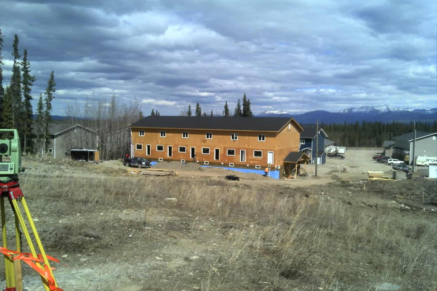
Brookside is a multi-phase, 118 bare land units, condominium and 6-lot housing development. Underhill has provided survey services to Brookside (and their contractors) during all...

Underhill has been working with the North Vancouver School District (SD#44) for over 50 years. In the 1950s and 60s, Underhill performed topographic and legal...
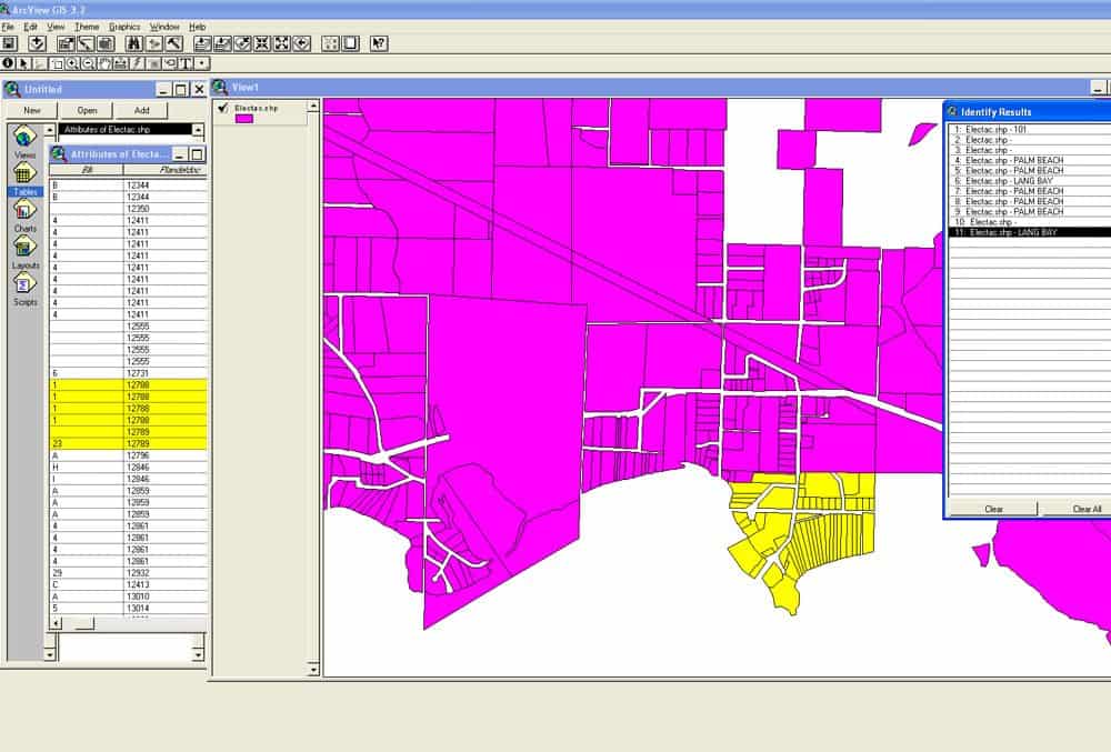
Underhill was one of three consultants originally awarded contracts on this BC-wide surveying project. The aim of this project is to upgrade the accuracy of...