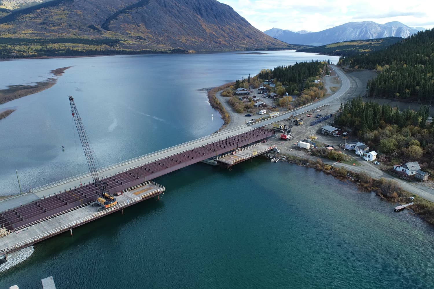
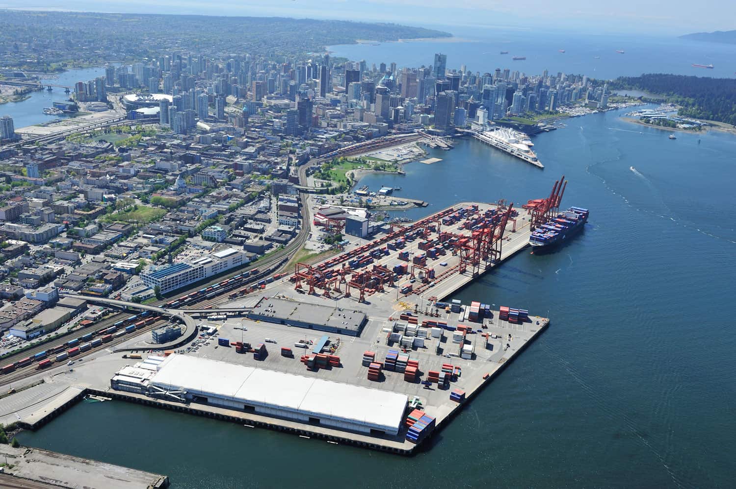
3D Modeling & BIM

Underhill knows 3D

The Underhill team uses the latest 3D laser scanning, digital measurement and reality capture technologies. We work with our clients to understand and produce deliverables that are appropriate to the project.

We use the latest technologies and software:

  • UAVs
  • Mobile and aerial lidar
  • Leica, Trimble, and Faro scanners & processing software
  • Revit, Microstation, Pix4D, Agisoft, Cyclone, TopoDot, Nubigon, Civil 3D

Examples of Underhill’s 3D modeling services:

  • Precise 3D modeling for construction and engineering
  • Virtual reality
  • Project documentation and progress records
  • 3D data for building information modeling (BIM)
  • Produce digital elevation models (DEMs)
  • Create photorealistic 3D models
  • Digital as-built models for clash detection and verification


All structures are three-dimensional.

Many industries manage and visualize their projects using various types of 3D representation. Mining and extraction industries report based on volume. Workflow initiatives such as Building information modelling (BIM) and the use of ‘digital twins’ have been adopted across architecture and construction. Engineers building transportation and hydro infrastructure need to understand the undulations of a site’s topography seen in contour maps or digital terrain models (DTMs).

Technologies such as 3D scanners and total stations enable today’s digital 3D models to be constructed with unprecedented detail. While these technologies bring opportunity, 3D modelling professionals need to understand what the appropriate 3D deliverable is relevant to the industry and application in hand.

Contact Underhill for more information on our 3D modelling services.