Hydrographic Surveys

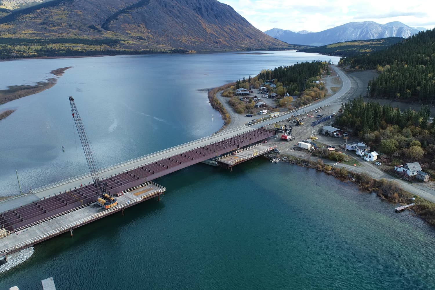
Underhill has the expertise and equipment to undertake any hydrographic survey

The Underhill team is equipped to perform a wide range of water based surveys. Our team uses the latest technologies to provide detailed and accurate data and analysis.

We use the latest technologies and software:

  • Hypack processing software
  • SeaFloor HyDrone (Unmanned Surface Vehicle)
  • Multi beam and single beam depth sounders

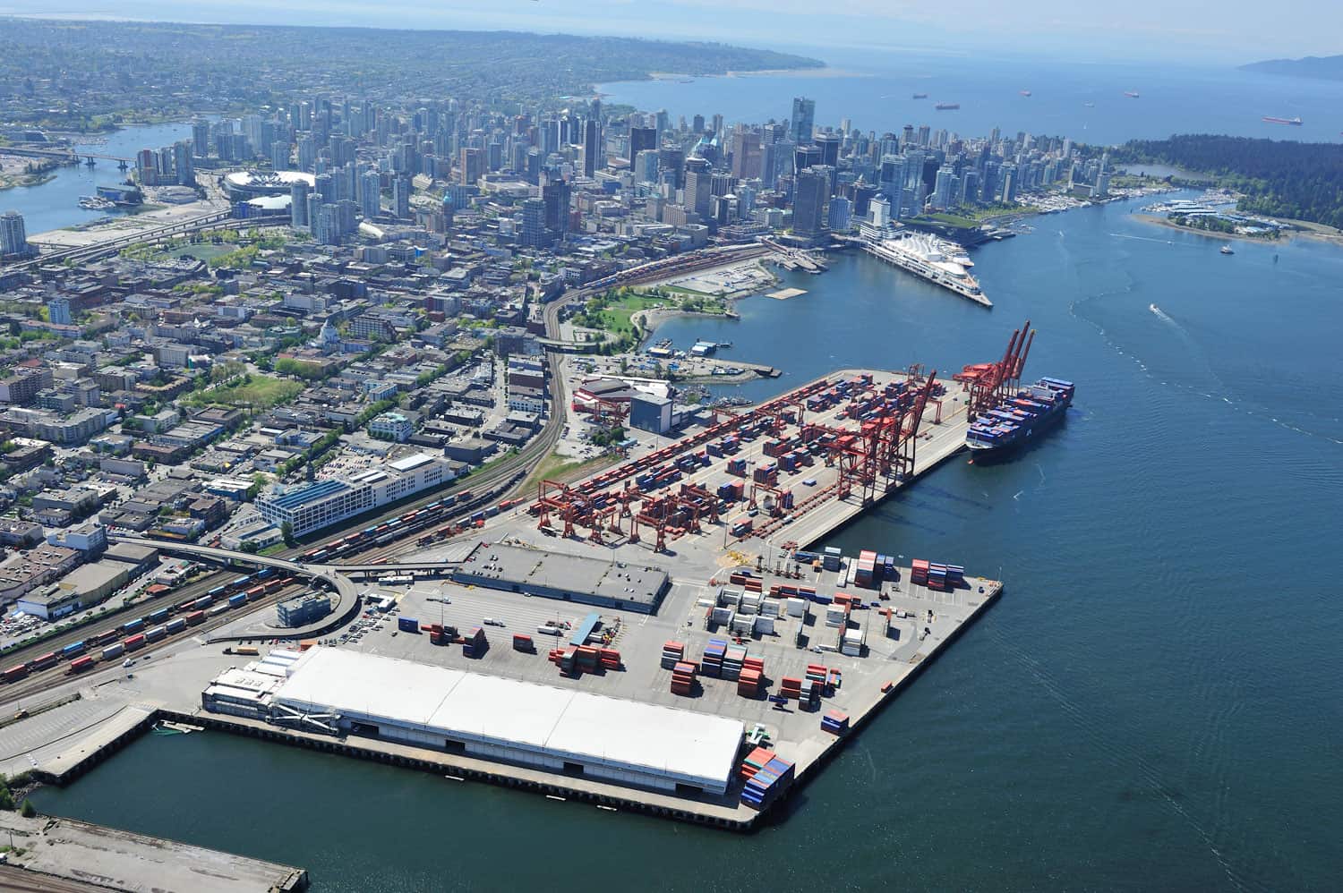
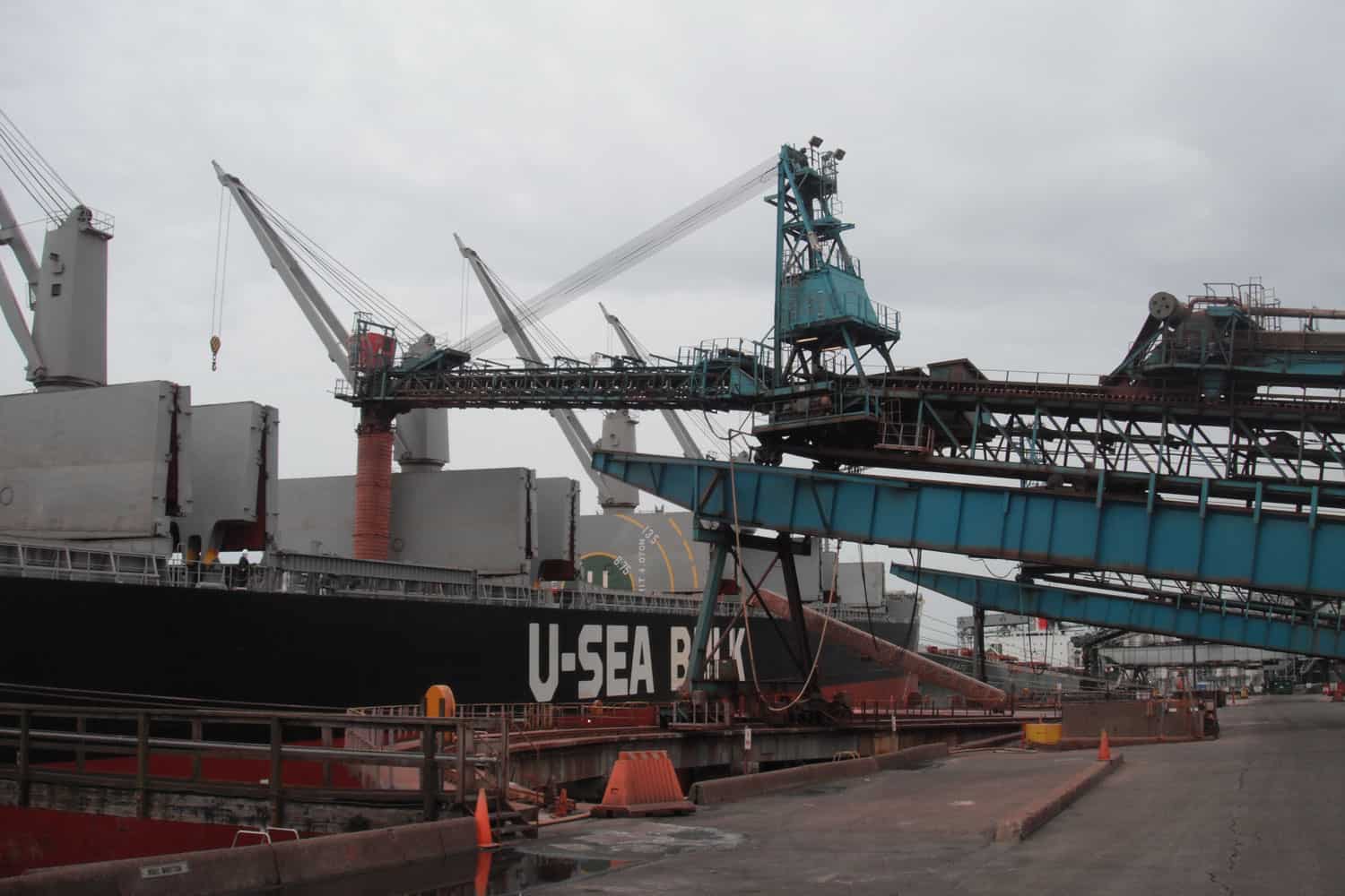
Examples of Underhill’s hydrographic services:

  • Diversion tunnel excavation monitoring
  • River bed scour monitoring
  • Depth verification & berth monitoring
  • 3D scanning of hydrographic models

For the design and engineering phase of many types of construction projects, it is important to know where obstructions lie immediately below the water surface in the intertidal zone or along inland waterways.

Whether it be to understand how much dredging is required during the construction of a hydro generation dam, the depth of a tailings pond on a mine’s property, or how navigable a lake is leading into a lakeside hotel complex, hydrographic surveys are required. Underwater acoustic imaging systems such as sonar are used to build a better picture of the topography along the riverbed or between the high and low waterlines.

Contact Underhill for more information on our hydrographic services.