Topographic Surveys

For over 100 years, Underhill has been performing topographic surveys.

Depending on the size and scale of the project, Underhill will utilize the appropriate tools and technologies for a time and cost-effective solution to our clients. As a topographic surveyor, we perform topographic surveys ranging in scale from single family homes to multi-hectare sites and projects.

Examples of Underhill’s topographic survey services:

  • Site surveys for development permits
  • Large site topographic surveys for land development and urban planning
  • Industrial topographic and as-built surveys for planning and design
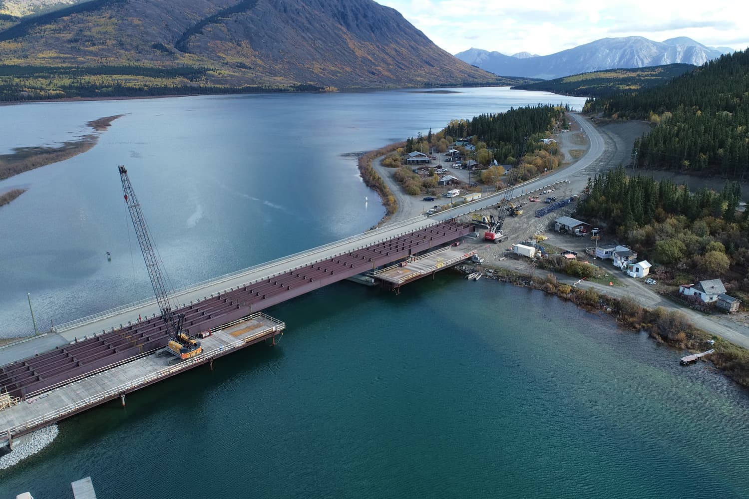
  • Transportation corridor topographic surveys
  • UAV and aerial based topographic surveys
  • Topographic surveys derived from 3D scanning
  • Marine based hydrographic surveys

Topographic surveys are performed to map natural, man-made and terrain features across the landscape.

These surveys include all types of real-world objects such as buildings, waterways, shorelines, fences and hedges, sidewalks, retaining walls, utility poles, forested areas, ditches, gullies and mountain tops. The levelled location of these features will be depicted as a singular point, outline or contour. Topographic surveys support many activities ranging from the design phase of large engineering or civil construction projects, through to providing the framework for recording exploration or land claims. Topographic surveys are one of the most recognizable products of a professional land surveying firm.

Contact Underhill for more information on our topographic surveys.