
Ucluelet RPAS Survey


Date
January 22, 2021
Sector
ConstructionServices & Technologies
drone, remotely-piloted aircraft survey, rpas, uavAbout This Project
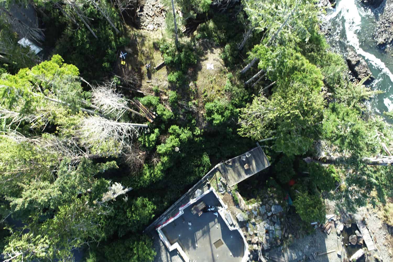
Remotely-piloted aircraft system (RPAS) imagery from Aerial Surveys allow Underhill to easily measure challenging terrain more efficiently and safely than traditional survey methods. This imagery not only assists in problem solving discussions between Land Surveyors and Clients, but also aids in the production of highly accurate surface models used by Engineers and Architects to design the best use of unique and exacting parcels of land.
