Underhill has the expertise to produce and process all types of aerial survey data.
Underhill’s technical team has the skills, software and experience to produce a full range of mapping products. Our team uses the latest aerial and mobile technologies to provide detailed and accurate data.
We use the latest technologies and software:
- Large fleet of drones; fixed wing and rotary
- Transport Canada certified pilots in every office (Kamloops, Vancouver, Vancouver Island, Whitehorse)
- High resolution video and imagery
- Our drone fleet includes: Sensefly Ebee Plus RTK, Quantum Systems Trinity F90+, DJI Phantom 4 RTK
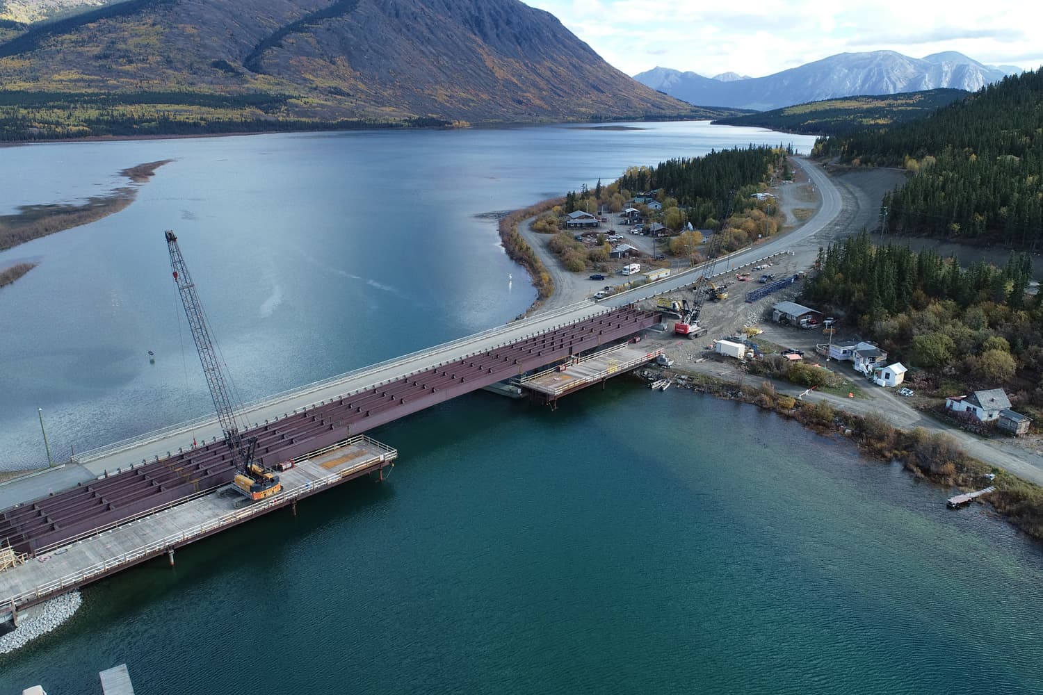
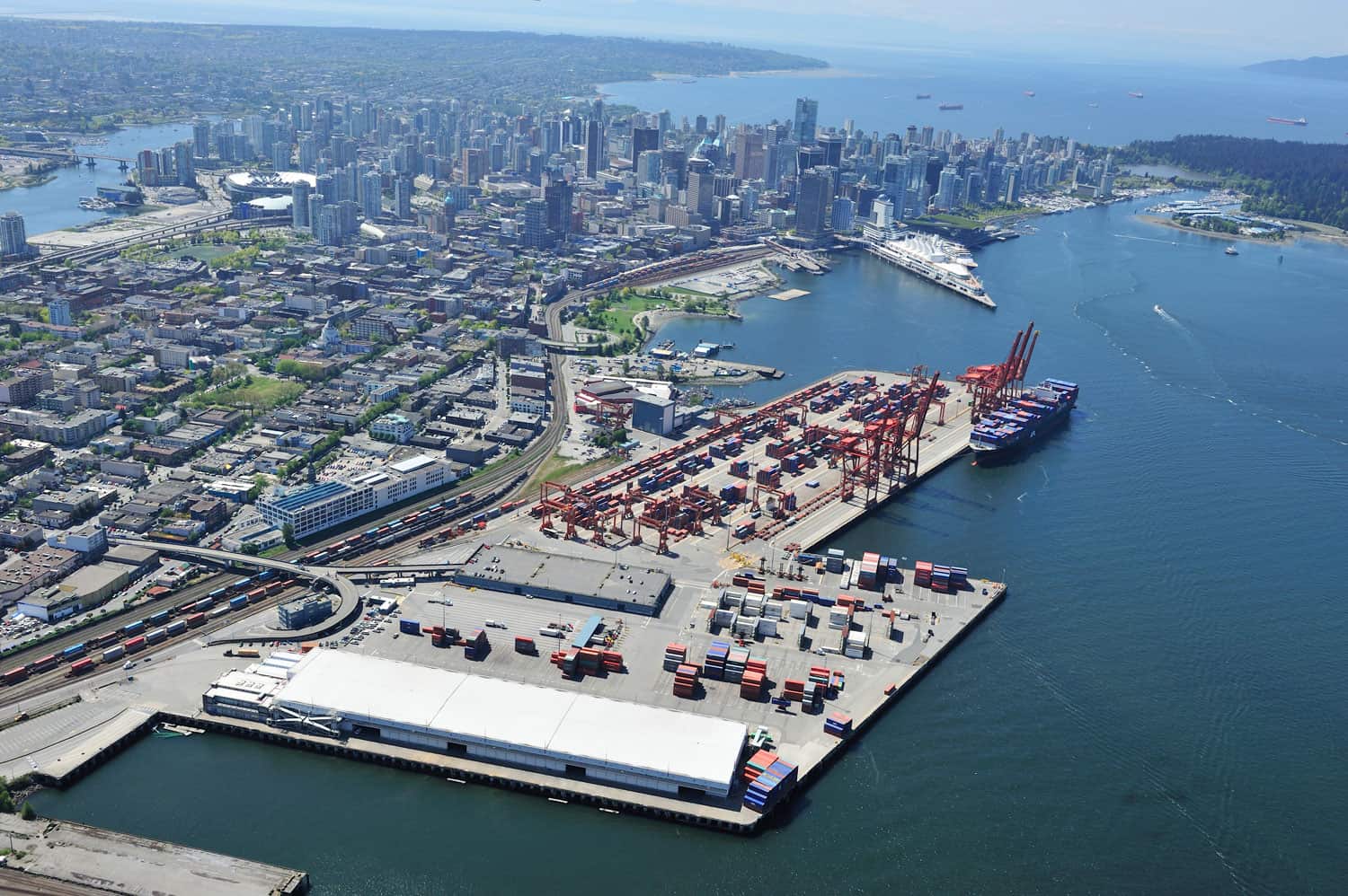
Examples of Underhill’s aerial services:
- Current state and progress reporting
- Transportation access maps
- Point clouds and 3D models generated from aerial survey
- Topographic maps and surface models
- Volumes and quantities
- High resolution video fly throughs