BC Hydro-Transmission GIS Land Base Development using COGO
From 2002 to 2008 Underhill provided cadastral mapping services on more than 20 contracts, covering 28 transmission circuits and over 2,000 km of right-of-way (ROW)....


From 2002 to 2008 Underhill provided cadastral mapping services on more than 20 contracts, covering 28 transmission circuits and over 2,000 km of right-of-way (ROW)....
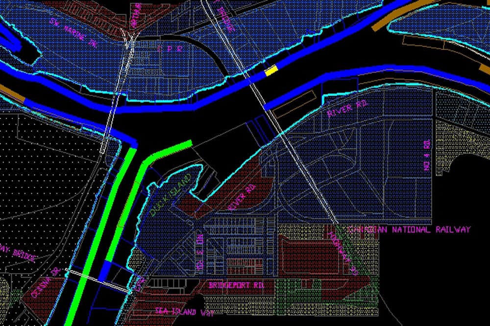
For much of the period from 1958 to 2008, Underhill was the consulting surveyor for the North Fraser Harbour Commission. Underhill was responsible for establishing...
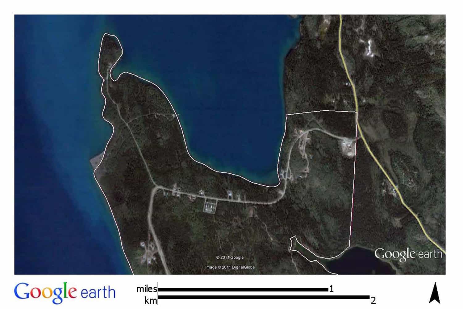
Underhill was contracted to do a mineral lease survey on claims at Ruby Creek near Atlin, BC. Under the supervision of F.B. Underhill, the project...
In 2005, Underhill performed parcel and attribute data capture on 513 separate Canada Lands parcels. The project involved processing existing GIS data and populating attribute...
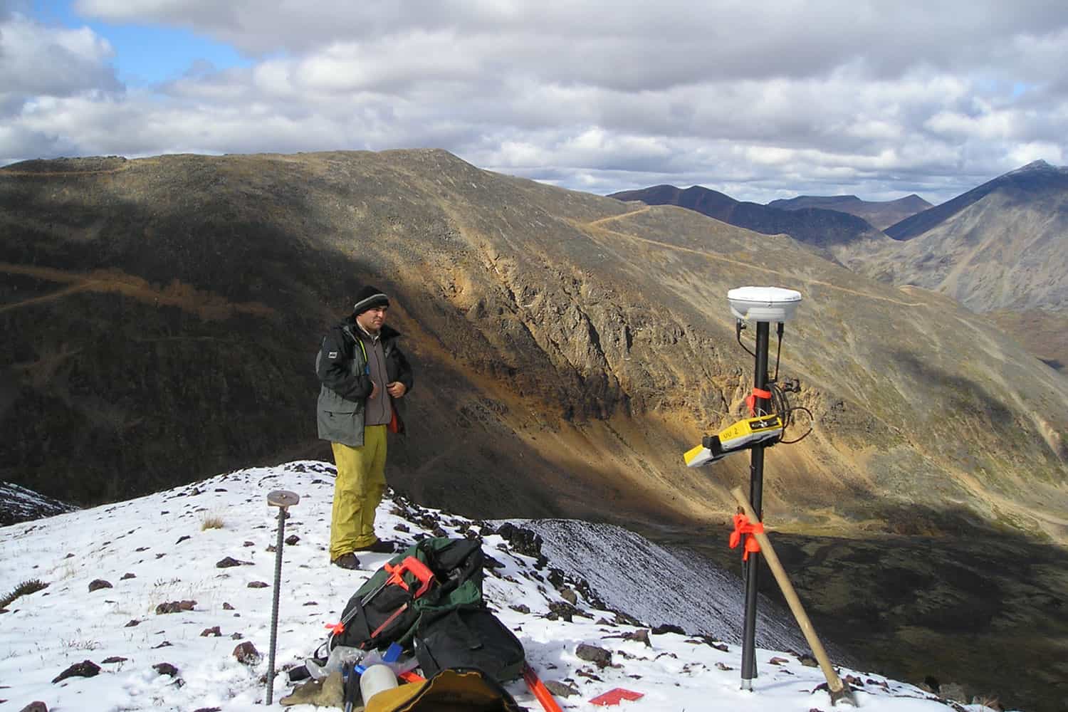
The Claim The Nunavut Land Claim involves the largest number of claimants and the largest geographic area of any land claim in Canada. There are approximately...

The Claim This Claim is located in the Mackenzie River region of the Western Arctic. The agreement was signed in September of 1993. In exchange for...

Starting in 1995, Underhill has provided services to the City of Coquitlam in support of their CARIS/ArcINFO GIS Q the Map. Completed projects include conversion...

Field Data Services (FDSI) successfully implemented Underhill’s Distribution Circuit Builder (DCB) system on their electrical field inventory projects from 1996 to 2001. UGSL and FDSI first...

The Claim The Gwich'in Land Claim is located in the Mackenzie River Valley, NT. Agreement in principle was reached in July of 1991. In exchange for...

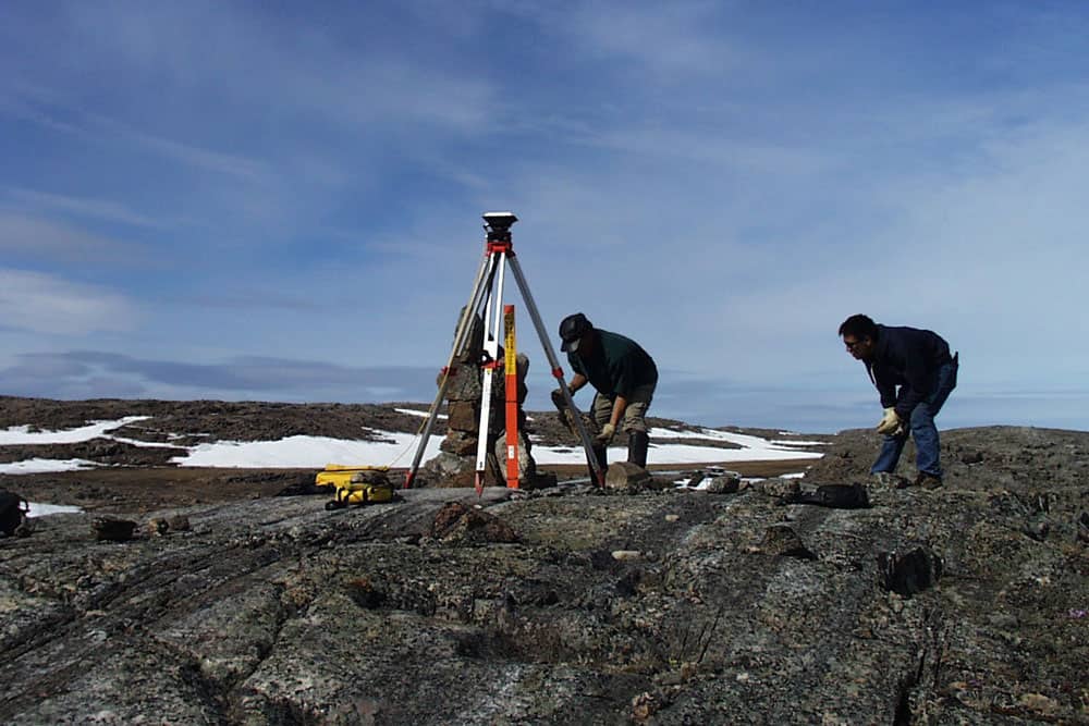
The Claim The IFA was signed in 1984. It represented the first modern treaty between the Federal Government, the Government of the Northwest Territories, and the...