Port Metro Vancouver
Date
1920-2010
About This Project
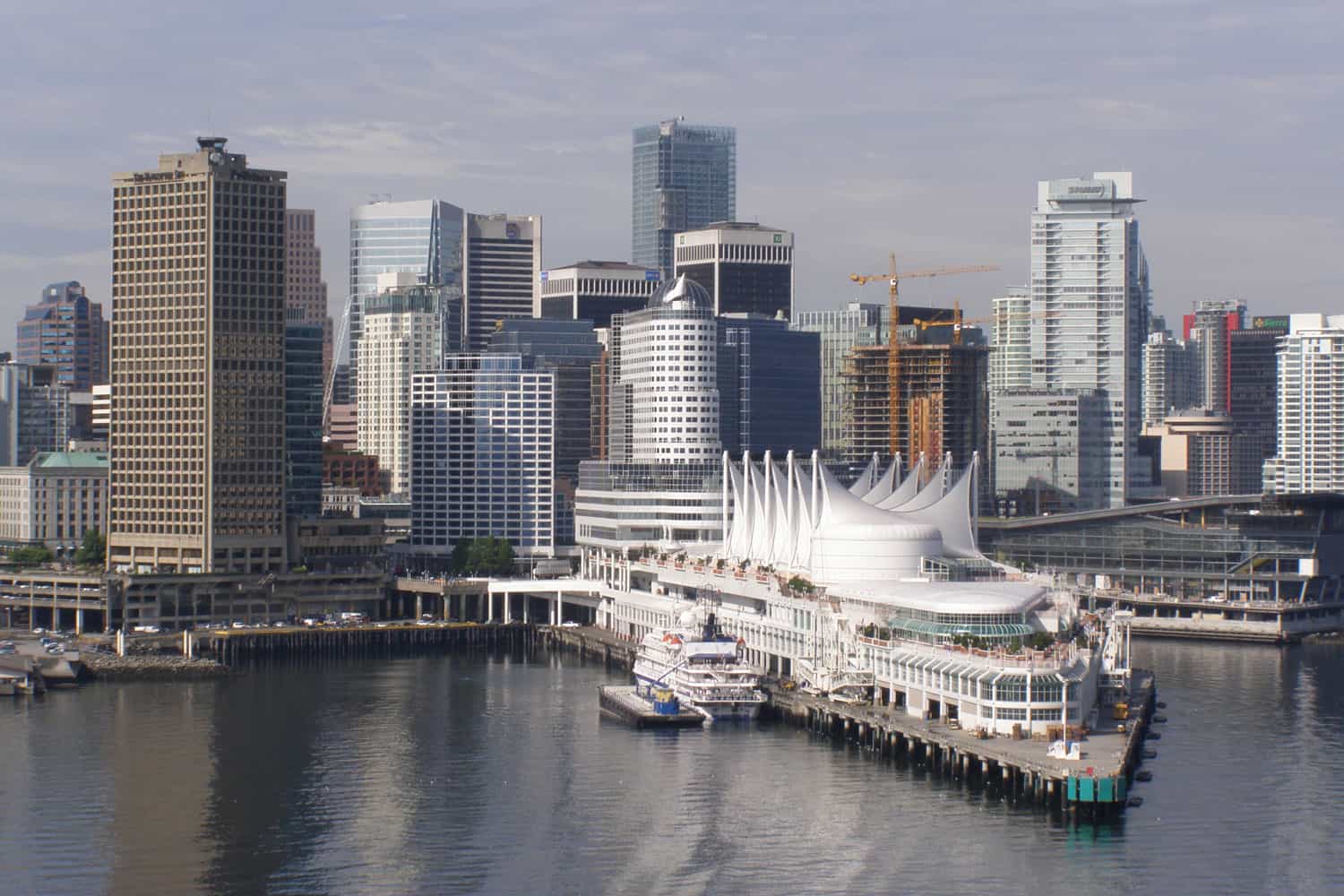
After nearly 150 years of existing separately, the Fraser River Port Authority, North Fraser Port Authority and Vancouver Port Authority were combined in 2008 to become the Vancouver Fraser Port Authority (VFPA), which is now known as Port of Vancouver.
Underhill has a long history with the port. Geodetic control networks were established for both the North Fraser and Vancouver Port Authorities. This control is used for mapping, harbour headline control, and lease surveys.
Underhill were the consulting surveyors for the North Fraser Port Authority for over 50 years. As such, it did all of the mapping, GIS and cadastral data management for the port. Numerous water leases were done for clients of the Authority, as well as hydrographic surveys.
For the Vancouver Port Authority, in addition to the aforementioned control, Underhill has updated cadastral mapping and provided both lease and hydrographic surveys.
Since the founding of Port Metro Vancouver in 2008, Underhill has completed some 20 projects, including nine COGO cadastral compilations of natural boundary and upland parcels. Data is delivered in ArcGIS.


