Ucluelet RPAS Survey
Remotely-piloted aircraft system (RPAS) imagery from Aerial Surveys allow Underhill to easily measure challenging terrain more efficiently and safely than traditional survey methods. This imagery...

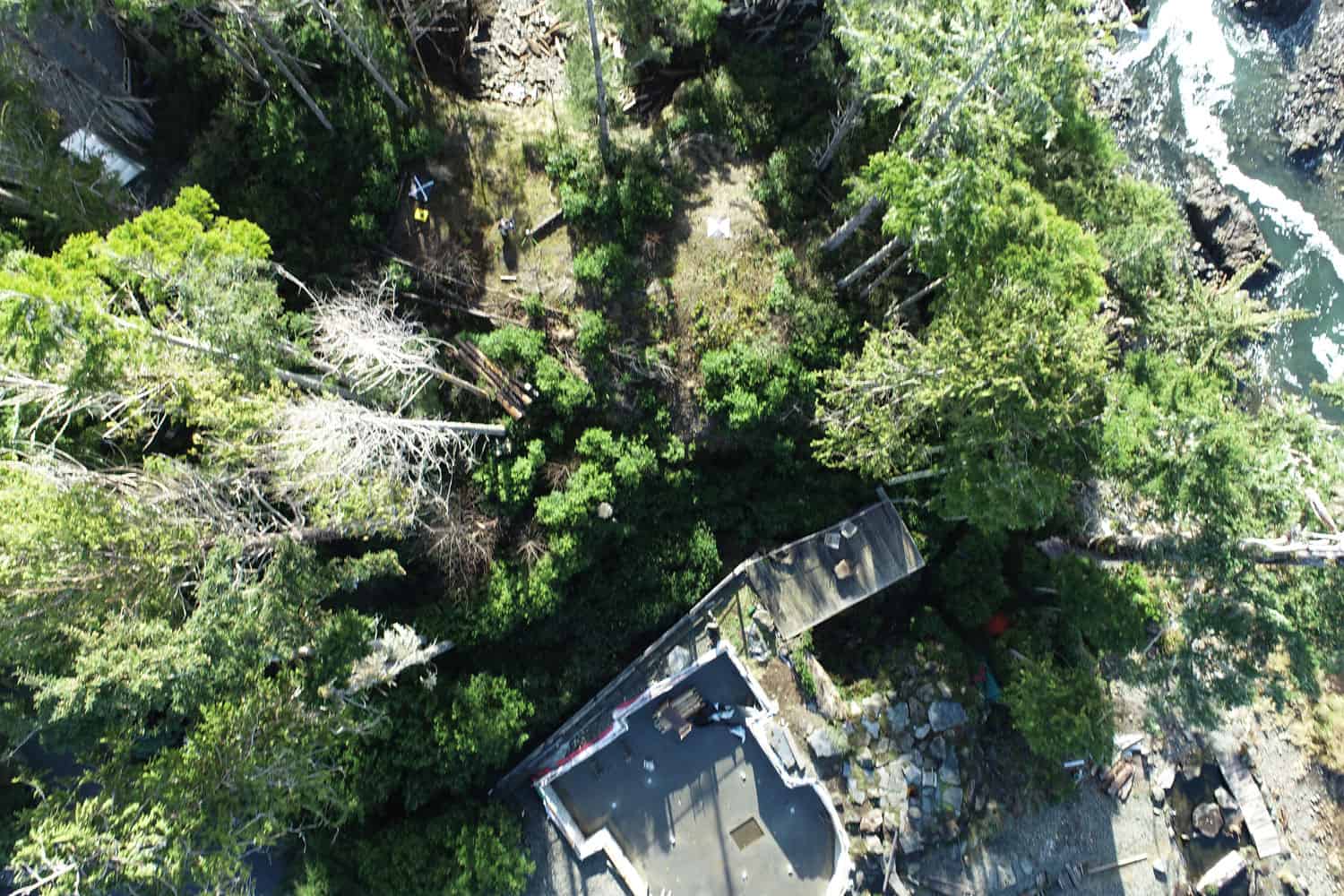
Remotely-piloted aircraft system (RPAS) imagery from Aerial Surveys allow Underhill to easily measure challenging terrain more efficiently and safely than traditional survey methods. This imagery...