
23 Mar Underhill UAV Aerial Mapping Accuracy Confirmed – GEOMATICA
In a paper in the December 2014 on-line issue of GEOMATICA, Chris Cryderman, Bill Mah, and Aaron Shufletoski evaluate the accuracy of UAV aerial drone mapping and compare it to a more traditional surveying approach.
-

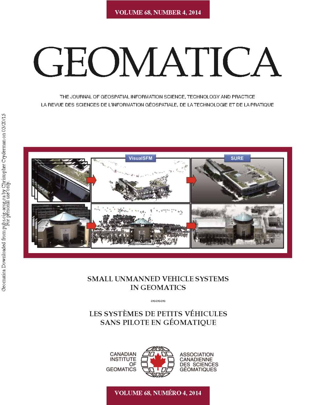
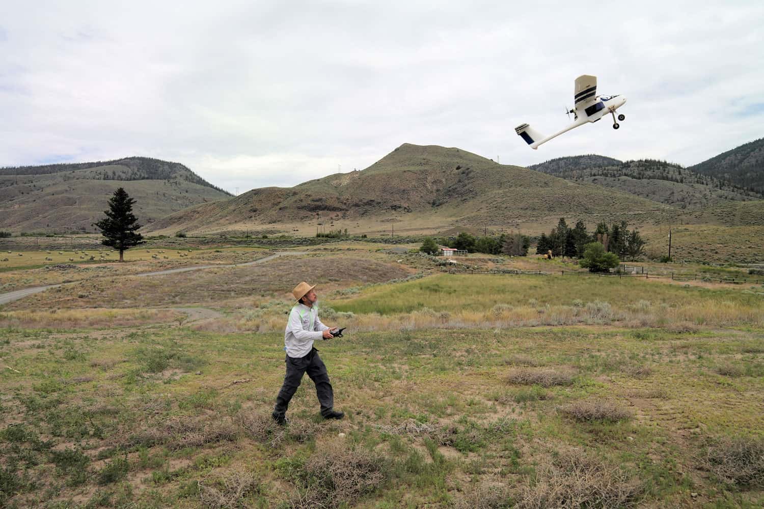
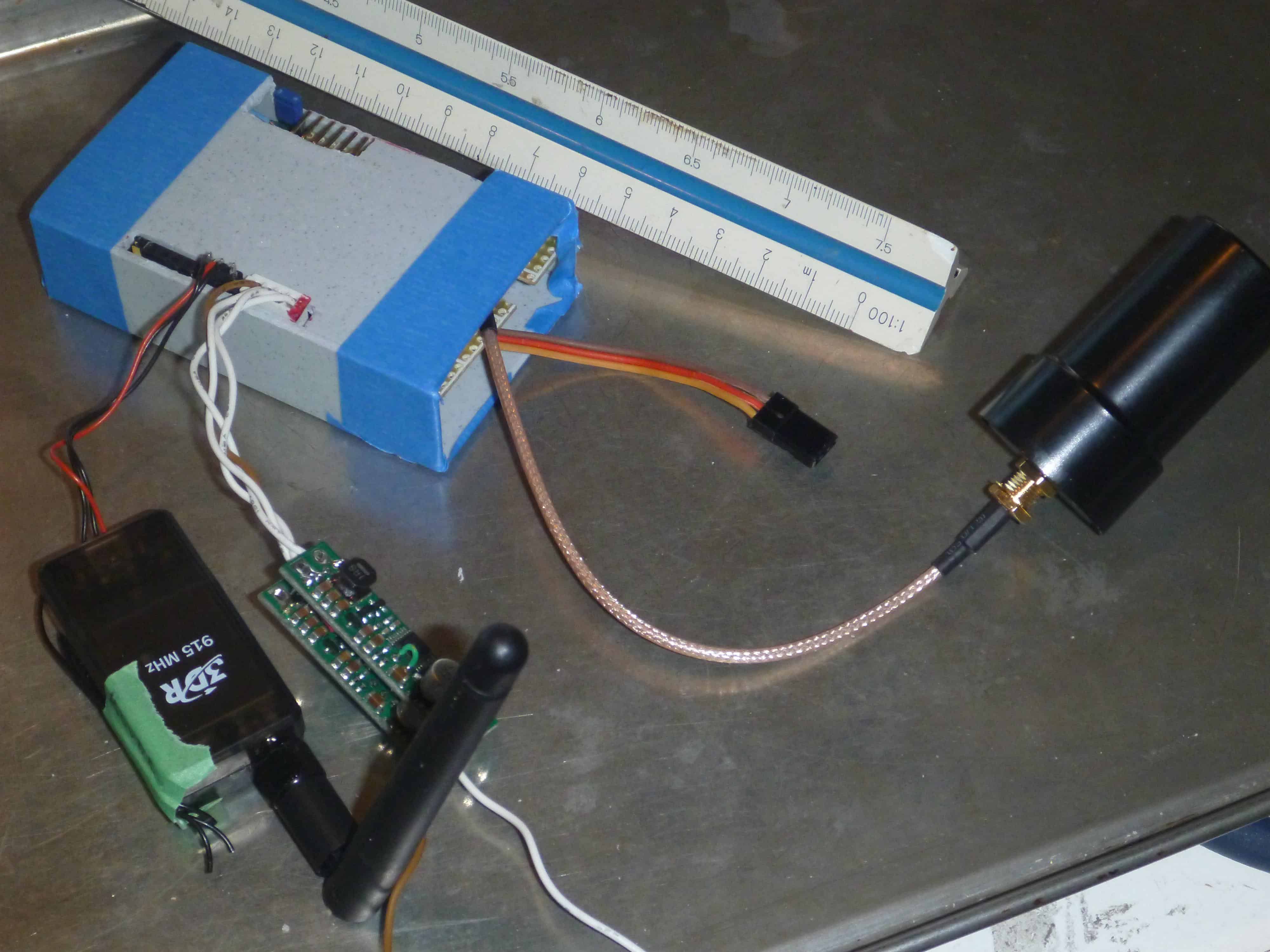
- The crew (Aaron, Chris, Bill) and the Underdrone
-

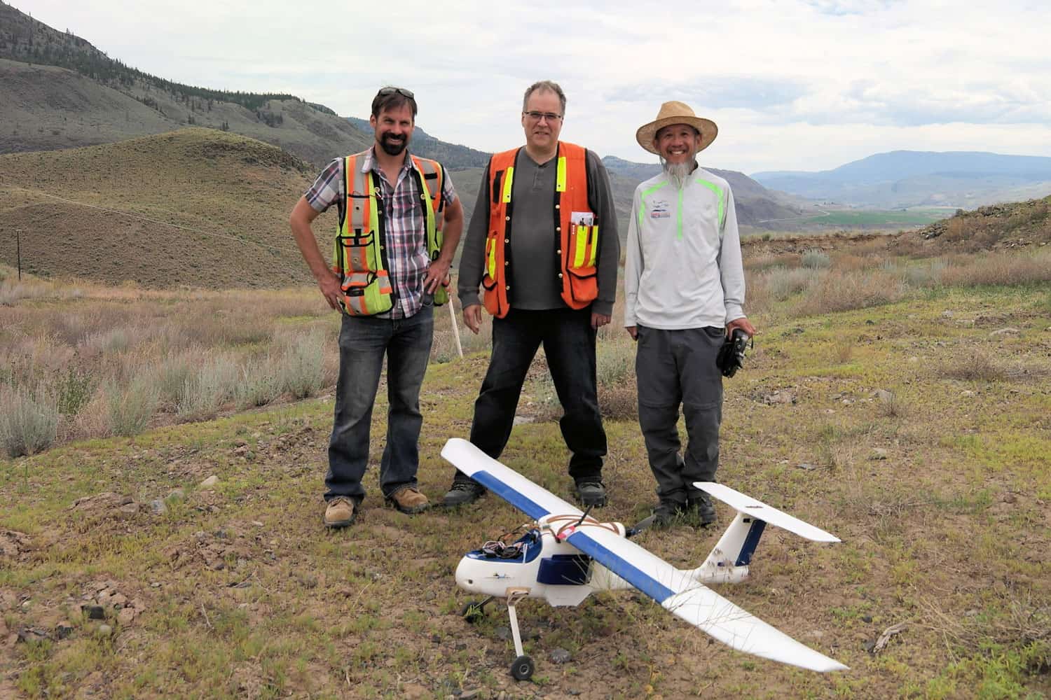
- Hand launching the UAV

-

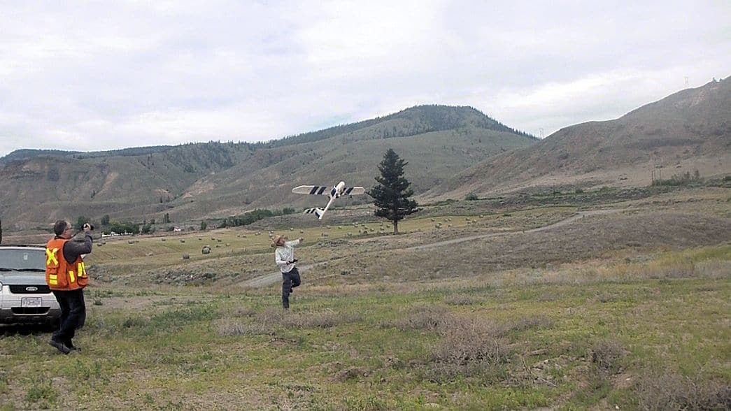
- Autopilot controlled flight
-

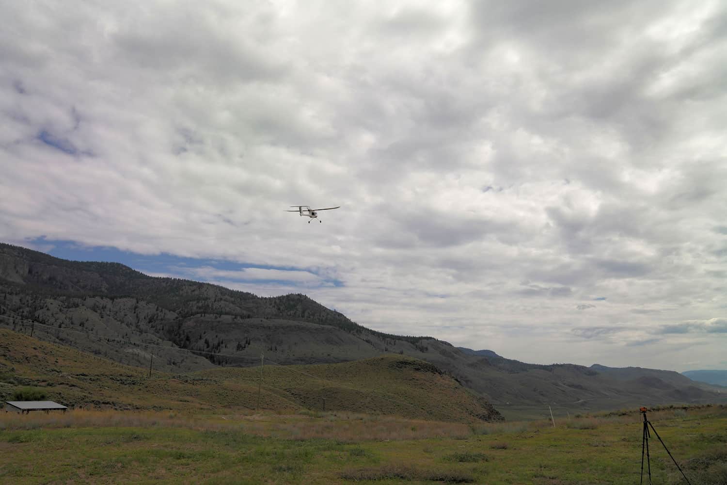
- Pilot Controlled flight
-

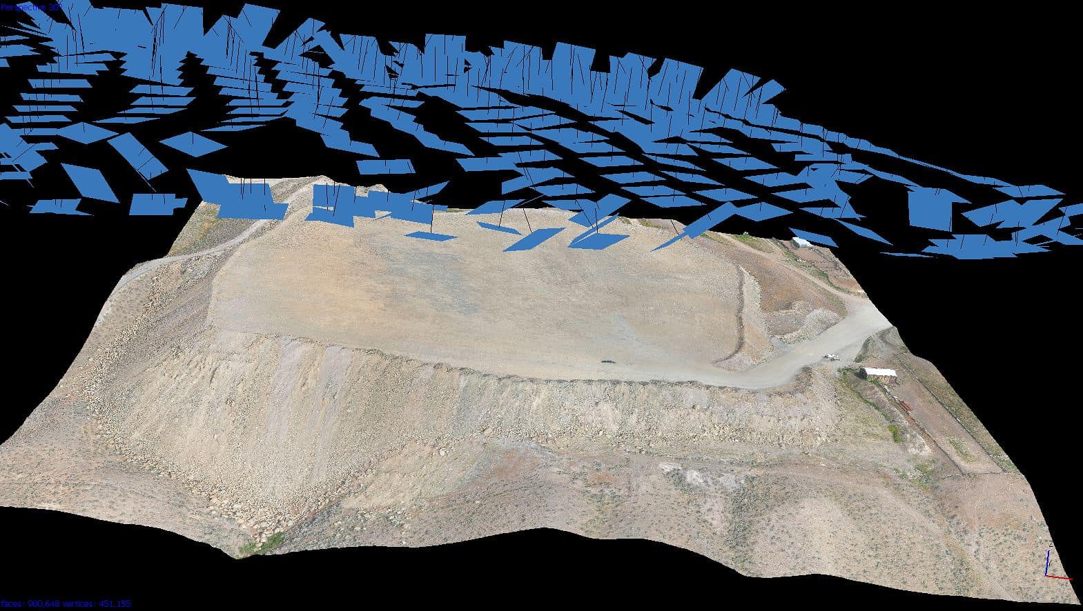
- 15 million point 3D model of spoil pile from 266 photos. 25mm pixel.
-

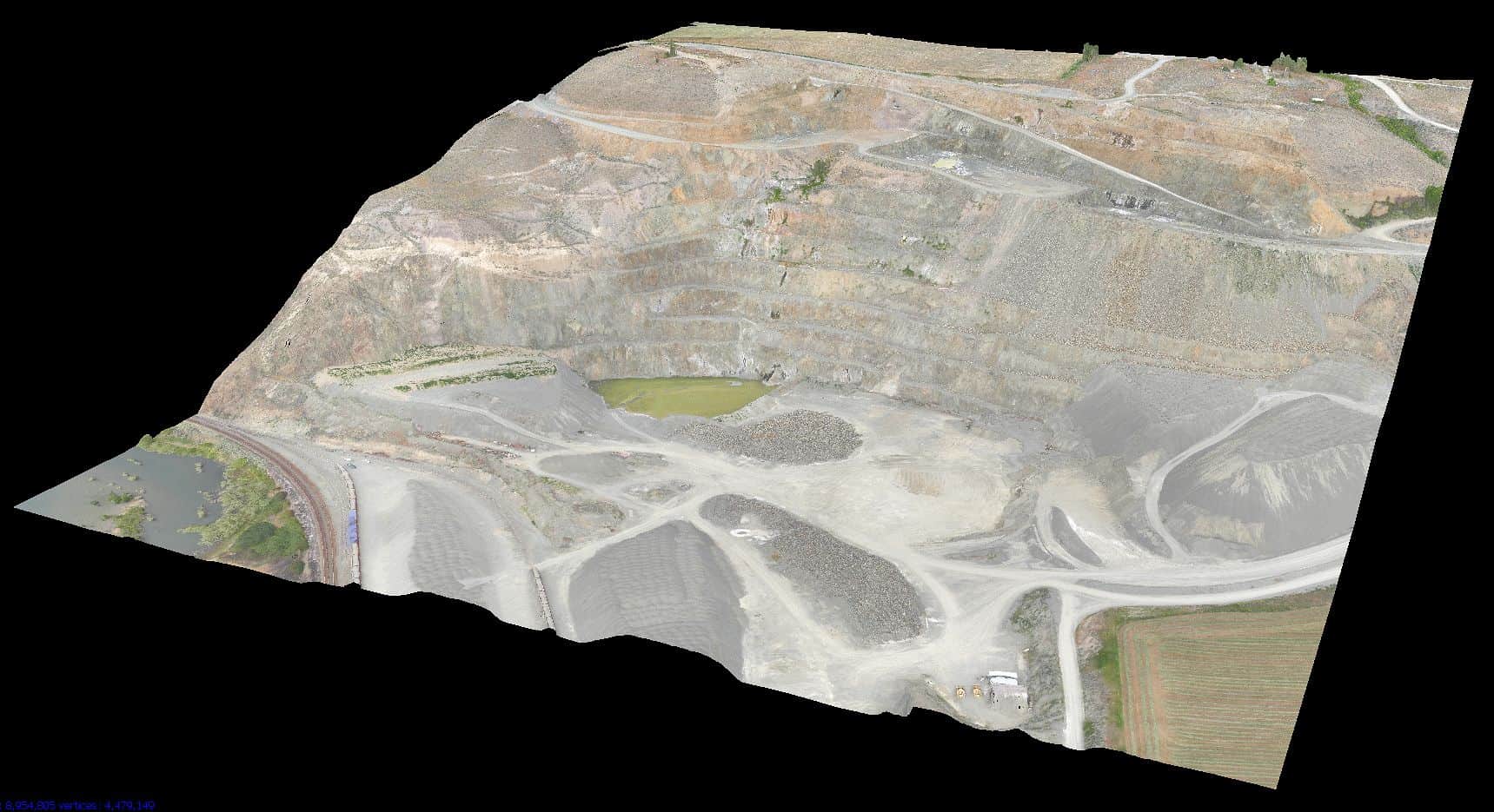
- 45 million point 3D Model of rock quarry from 985 photos. 25mm pixel.
In this special issue of the magazine, guest editors Costas Armenakis and Babak Ameri have brought together seven peer reviewed papers, and one professional paper, focused on Small Unmanned Vehicle Systems (sUVS) in Geomatics. In their introduction they highlight the rapid growth of the sUVS field with the 2014 market estimated at CAD$1.5 billion. They state:
“This disruptive technology of sUVS is creating new and innovative opportunities for the geomatics industry and has “democratized” photogrammetry.”
This theme of “disruptive technology” is echoed in the comments of the Journal’s editor Izaak de Rijcke,
“…”drones”, UVS have gained notoriety in the public mind as a tool for compromising privacy and as a device that may deserve better controls by a Regulator. This of course is unfortunate. UVS that are operated for a specific purpose by a qualified and licensed individual hold tremendous opportunity for the economic means of qualitative geospatial acquisition on a small scale. In effect, drones do not compromise privacy; it is unethical operators who deserve sanction.”
GEOMATICA is the official quarterly publication of the Canadian Institute of Geomatics (CIG). It is the oldest surveying and mapping publication in Canada and was first published in 1922 as the Journal of the Dominion Land Surveyors’ Association.
The Underhill paper can be downloaded here: Evaluation of UAV Photogrammetric Accuracy for Mapping and Earthworks Computations